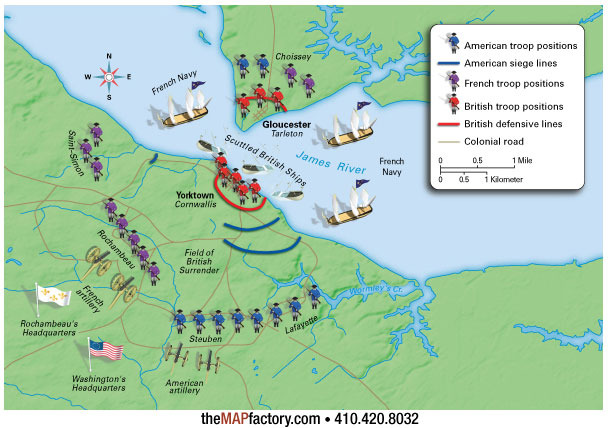
The map was one of many maps and illustrations created for a sixth grade American History textbook. It was created using several different technologies...
•Traditional cartography with data generated by GIS
•DEM relief generation
•3D modeling and rendering
The component pieces were then combined in Illustrator.
|